Cookies helfen uns bei der Bereitstellung unserer Dienste. Durch die Nutzung unserer Dienste erklärst du dich mit dem Einsatz von Cookies einverstanden. Mehr Infos OK

Kanada - Webcams
 Anzahl Webcams:
Webcams Kanada
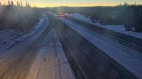
Regional Okanagan-Similkameen › Osten: Highway 97C (Okanagan Connector) about 25 km east of Highway 5A and Highway 97C junction, looking east
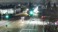
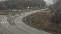
North Vancouver › Süden: Highway 1 (Upper Levels Highway) at Lonsdale Avenue, looking south
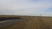
Unorganized Kenora District › Nordwesten: true
Northeastern Manitoulin and the Islands › Norden: Highway 6 - Sheguiandah
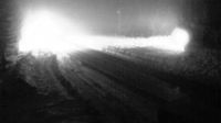
Castlegar › Osten: Highway 3 at 14 Avenue in - looking east
Elko › Norden: Highway 3 about 10 km south of Fernie at Morrissey Junction, looking north
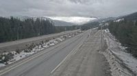
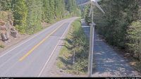
Thompson-Nicola Regional District › Süden: Highway 5 southbound at Mine Creek Road, looking south
Vancouver › Norden: Highway 1 at the south end of Ironworkers Memorial Bridge, looking westbound towards the North Shore
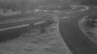
Columbia-Shuswap Regional District › Norden: Highway 23 about 90 km north of Revelstoke, looking north
Bridal Falls › Osten: Hwy 28 Gold River Highway at Crest Lake, about 14 km east of Gold River, looking east
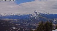
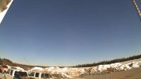
Banff: Cliffhouse Bistro
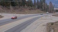
West Kelowna › Norden: Highway 97 at Highway 97C junction about 5 km south of Westbank, looking north

Cap-Chat
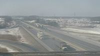
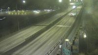
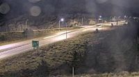
Nilestown: Highway 401 near Veterans Memorial Pkwy
Area E › Süden: Highway 16 at Highway 37S on the border of Terrace and Thornhill, looking south
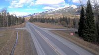
Peachland › Osten: Highway 97C (Okanagan Connector) about 22 km west of Highway 97 and Highway 97C Junction, looking east
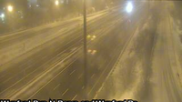
North York: Wynford: Don Valley Parkway near WynfoRoad Drive
Oyen: Hwy 9: at Field Access near Sibbald
Webcam Angebote windy.com.