Cookies helfen uns bei der Bereitstellung unserer Dienste. Durch die Nutzung unserer Dienste erklärst du dich mit dem Einsatz von Cookies einverstanden. Mehr Infos OK

Kanada - Webcams
 Anzahl Webcams:
Webcams Kanada
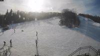
Nackawic: Ski Crabbe Mountain Ltd.
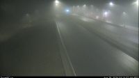
Columbia-Shuswap Regional District › Westen: Highway 1 about 40 km west of Golden near the Quartz Creek bridge, looking west
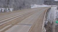
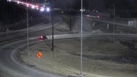
Unorganized Rainy River › Osten: Highway 11 near Highway 623, Looking East

Area B
Lions Bay › Süden: Hwy 99, in - looking south
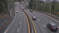
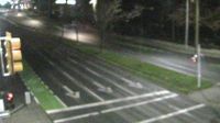
Calgary › Südosten: Deerfoot Trail Southeast
Pemberton › Norden: Highway 99 at Portage Road in - looking north
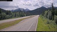
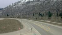
Banff › Westen: Highway 1 east of Sunshine Ski Hill overpass in Alberta, looking west

North Vancouver: De Pencier Bluff

Caledon › Nordwesten: true
Hilliers › Osten: Highway 4 at Alberni Highway (Highway 4A) junction, about 2 km west of Coombs, looking east
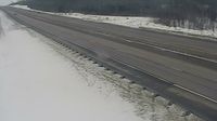
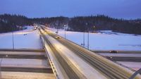
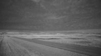
Fraser Valley Regional District › Süden: Highway 5 northbound at Zopkios Rest Area near the Coquihalla Summit looking south

The Pas › Nordwesten: true
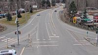
Keremeos › Osten: Highway 3 at - Bypass Road, looking east
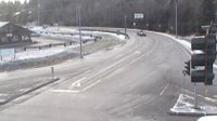
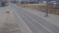
Barriere › Süden: Highway 5 at Agate Bay Road, south of - looking south
Fort McMurray: Hwy 63 and Thickwood Blvd
Saanich › Westen: Highway 17 (Blanshard Street) at - Road, looking west
Fort Macleod: Hwy 3: East of Range Road 272 near
Webcam Angebote windy.com.