Cookies helfen uns bei der Bereitstellung unserer Dienste. Durch die Nutzung unserer Dienste erklärst du dich mit dem Einsatz von Cookies einverstanden. Mehr Infos OK

Kanada - Webcams
 Anzahl Webcams:
Webcams Kanada
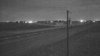
Woolwich › Westen: true
Nanaimo › Westen: Highway 1, at Comox Road and Terminal Avenue in - looking west
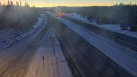
Area B › Norden: Highway 5 at the northbound Portia Chain Up, looking north
Unorganized Thunder Bay District › Osten: Highway 11 at Highway 102, Looking South
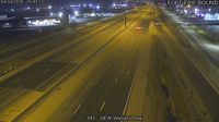
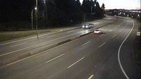
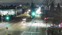
St. Catharines: QEW near Welland Avenue
Trail › Osten: Highway 3B at Devito Drive, looking east
Gatineau › Norden: Alonzo-Wright Bridge - Highway 307

Whistler Resort Municipality › Südwesten: true
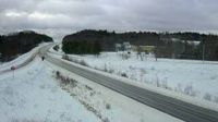
Squamish › Norden: Highway 99 at Daisy Lake Road, looking north
Hamlet of Monarch: Hwy 3: 3.4km West of Whitney Road near Monarch
Wileville
Unorganized Kenora District › Westen: true
Lantzville › Norden: Highway 19 at Aulds Road in Nanaimo, looking north
Regional Okanagan-Similkameen › Osten: Highway 97C (Okanagan Connector) about 25 km east of Highway 5A and Highway 97C junction, looking east
North Vancouver › Süden: Highway 1 (Upper Levels Highway) at Lonsdale Avenue, looking south
Unorganized Kenora District › Nordwesten: true
Northeastern Manitoulin and the Islands › Norden: Highway 6 - Sheguiandah
Castlegar › Osten: Highway 3 at 14 Avenue in - looking east
Webcam Angebote windy.com.