Cookies helfen uns bei der Bereitstellung unserer Dienste. Durch die Nutzung unserer Dienste erklärst du dich mit dem Einsatz von Cookies einverstanden. Mehr Infos OK

Kanada - Webcams
 Anzahl Webcams:
Webcams Kanada

Bancroft › Nordwesten: true
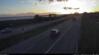
Surrey › Westen: Highway 99, near Highway 91 around Mud Bay in - looking west on Highway 99 northbound
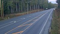
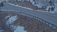
Brisco › Norden: Highway 95 at - Road in - looking north
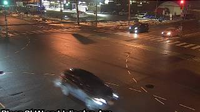
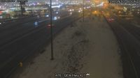
Toronto: Bloor St West At Islington Ave West Side

Kincardine › Westen: true
Courtenay › Süden: Intersection of Ryan Road and Lerwick Road in - looking south
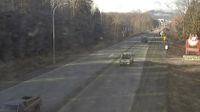
Petawawa › Norden: Highway 17 at - River Bridge, Looking North
Alert Bay › Osten: Highway 19 at Campbell Way in Port McNeill, looking east
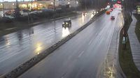
Courtenay › Osten: Intersection of Ryan Road and Lerwick Road in - looking east
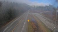
Terrace › Westen: Highway 16 at Highway 37S on the border of - and Thornhill, looking west
Unorganized Kenora District › Osten: Highway 17 near Raleigh Cutoff Road, Looking East
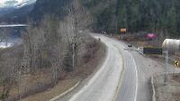
Columbia-Shuswap Regional District › Westen: Highway 1 about 20 km west of Revelstoke near Three Valley Gap, looking west
Area B › Westen
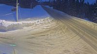
Regional Fraser-Fort George › Norden: Highway 97 north of Mackenzie Junction at Powder King access road, looking north
Cape Smokey
Port Edward › Westen: Highway 16 about 34 km east of Prince Rupert near McNeil River at the Rainbow Summit chain-up area, looking west
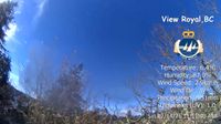
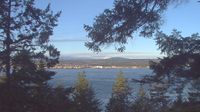
View Royal › Nordwesten
Valemount: Valemount Airport (CAH4)
Webcam Angebote windy.com.