Cookies helfen uns bei der Bereitstellung unserer Dienste. Durch die Nutzung unserer Dienste erklärst du dich mit dem Einsatz von Cookies einverstanden. Mehr Infos OK

Kanada - Webcams
 Anzahl Webcams:
Webcams Kanada
Heart's Content › Südosten
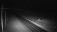
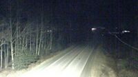
Campbell River › Norden: Highway 19 about 2.5 km south of - at Willis Road, looking north
Tete Jaune Cache › Osten: Highway 16 at Highway 5 junction, looking east
Whitchurch-Stouffville › Süden: Gormley
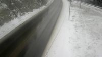
Hagensborg › Westen: Highway 20 between Bella Coola and - looking west
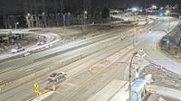
Richmond: Brighouse › Süden: Highway 99 at Steveston interchange, looking south
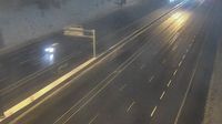
Georgian Bay Township › Süden: Highway 400 near Bay Road, Looking South
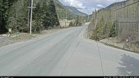
Whistler Resort Municipality › Norden: Highway 99 about 13 km north of Whistler at Riverside Drive, looking north
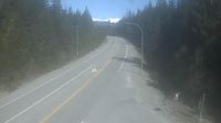
Nelson › Norden: Highway 6 at Whitewater Ski Hill Road about 12.5 km south of - looking north
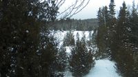
Saint-Hippolyte › Norden: Biology station of Laurentides - Lac Croche - Chemin du Lac Croche

Toronto › Norden: Bloor Street West & Parkside Drive - Keele Station
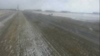
Bowden: Hwy 2: South of Hwy 587 near

Campbell River › Osten: Highway 19 about 2.5 km south of - at Willis Road, looking east
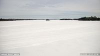
Sioux Narrows-Nestor Falls Township: Tomahawk Resort
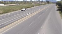
Abbotsford › Osten: Sumas Way
Nanoose Bay › Süden: Highway 19 at Northwest Bay Road near - looking south

Dease Lake › Norden: Highway 37 at Commercial Drive in - looking north on Highway 37
Area H › Osten: Highway 19 at Horne Lake Road, looking east
Webcam Angebote windy.com.