Cookies helfen uns bei der Bereitstellung unserer Dienste. Durch die Nutzung unserer Dienste erklärst du dich mit dem Einsatz von Cookies einverstanden. Mehr Infos OK

Kanada - Webcams
 Anzahl Webcams:
Webcams Kanada
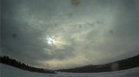
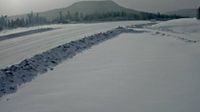
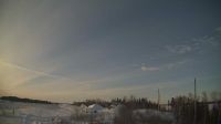
Regional Bulkley-Nechako: Burns Lake Airport SE
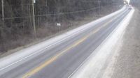
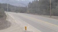
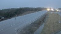
Malakwa › Westen: Highway 1 east of Sicamous at Cambie Road/Solsqua Road, looking west
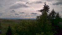
Black Diamond › Südwesten

Smithers: Airport SE
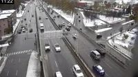
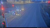
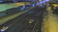
Montreal: Rue D'Iberville - Autoroute 40 Est
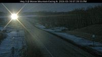
Elkford › Westen: Highway 43 at Fording River Road in - looking west
Wawken No. 93 › Norden
Prince George › Westen: Highway 97 at Highway 16 junction in - looking westbound on Highway 16
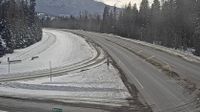
Canal Flats › Süden: Highway 93 at Burns Avenue, looking southbound
Northern Rockies Regional Municipality › Westen: Highway 97 about 80 km northwest of Fort Nelson, looking west
Boothroyd 8A › Norden: Highway 1 about 12 km north of Boston Bar at Kahmoose Road in Boothroyd, looking north
AshfieldColborneWawanosh › Süden: Highway 21 near Zion Road, Looking South
Area H › Norden: Highway 19 at Horne Lake Road, looking north
Island Lake › Nordwesten: true
Chapel Arm › Osten

Slave Lake › Norden: true
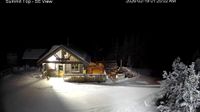
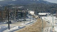
Area F: Panorama - British Columbia, Canada: Summit Panorama
The Blue Mountains › Süden
Webcam Angebote windy.com.