Cookies helfen uns bei der Bereitstellung unserer Dienste. Durch die Nutzung unserer Dienste erklärst du dich mit dem Einsatz von Cookies einverstanden. Mehr Infos OK

Kanada - Webcams
 Anzahl Webcams:
Webcams Kanada
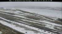
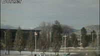
Dundurn
Area B › Norden: Highway 19 about 31 km north of Campbell River, looking north
Moncton › Westen
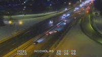
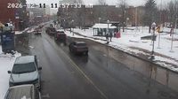
Old) Ottawa: Old Ottawa East: Highway 417 near Nicholas Street
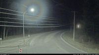
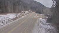
Kimberley: Chapman Camp › Südwesten: Highway 95A at Black Bear Crescent about 3 km south of Kimberley, looking southwest
Area A › Westen
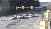
Courtenay › Norden: Intersection of Ryan Road and Lerwick Road in - looking north
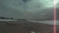
South Huron: Centralia Airport
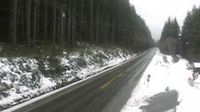
Avola › Norden: Highway 5 about 15 km south of - looking north
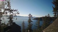
Lake Country › Norden: Highway 97 in - by Wood Lake, looking north
Prince Rupert: Airport S
Jasper › Süden: Jasper-Hinton Airport
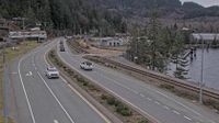
Britannia Beach › Süden: Highway 99 at Copper Drive in - looking south
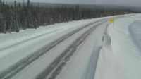
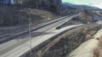
Peace River Regional District › Norden: Highway 97 about 6 km south of the Sikanni River Bridge and about 175 km north of Fort St. John, looking north

Morningside: Hwy 2: North of - Overpass near Ponoka
Osoyoos › Norden: US 97 at MP 336.4: (View North)
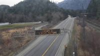
Hope 1 › Nordosten: Highway 7 about 2 km west of Hope, looking eastbound
Regional Bulkley-Nechako › Westen: true
Webcam Angebote windy.com.