Cookies helfen uns bei der Bereitstellung unserer Dienste. Durch die Nutzung unserer Dienste erklärst du dich mit dem Einsatz von Cookies einverstanden. Mehr Infos OK

Kanada - Webcams
 Anzahl Webcams:
Webcams Kanada
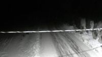
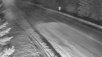
Wells › Westen: Highway 26 near - about 78 km east of Quesnel, looking west

Hamlet of Springbrook › Westen: true

Churchill Falls › Westen: true

Hope › Nordosten: Hope Regional Airpark

Unorganized Thunder Bay District › Westen: true

Area A: Calvert Island Mount Buxton #2
Cartwright › Westen: true
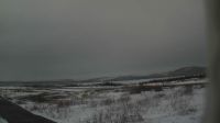
Regional Okanagan-Similkameen › Westen: Highway 97C (Okanagan Connector) about 25 km east of Highway 5A and Highway 97C junction, looking west

Old) Ottawa › Westen: Britannia Beach
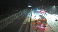
Area B › Norden: Highway 5 at the Great Bear Snowshed, looking north

Kelowna › Norden: Highway 33 about 41 km southeast of - just south of Big White Road, looking north
Thompson-Nicola Regional District › Südwesten

Forteau
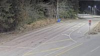
Port Coquitlam › Westen: Hwy 7B, on Mary Hill at Kingsway Ave, looking west
Fort Liard › Südwesten: true
North Vancouver › Norden: Highway 1 at the north end of Ironworkers Memorial Bridge, looking north
Temiskaming Shores › Süden: Highway 11 near Highway 65, Looking South
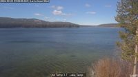
Trout Lake › Norden: Highway 23 near the Upper Arrow Lake ferry landing at Shelter Bay, looking north at lineup
Webcam Angebote windy.com.