Cookies helfen uns bei der Bereitstellung unserer Dienste. Durch die Nutzung unserer Dienste erklärst du dich mit dem Einsatz von Cookies einverstanden. Mehr Infos OK

Kanada - Webcams
 Anzahl Webcams:
Webcams Kanada
Beaverlodge: Hwy 43: East of Jct 723 near
Area I › Nordosten
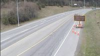
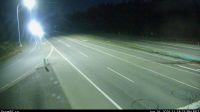
Perth South › Norden: Highway 7 near County Road 26, Looking North
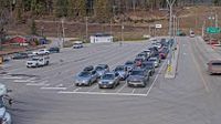
Hilliers › Westen: Highway 4 at Alberni Highway (Highway 4A) junction, about 2 km west of Coombs, looking west
Procter › Norden: Balfour ferry terminal, looking north towards Highway 3A
Bedeque and Area › Südwesten: Blue Shank Road
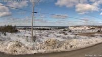
Old Perlican › Norden
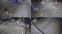
Arts District: City of Windsor - Goyeau Street and Park Street

Seguin Township › Nordwesten: true
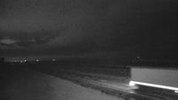
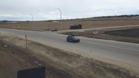
Cypress County: Hwy 1: East of Range Road 40 near Irvine
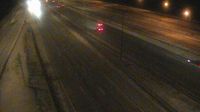
Burlington: QEW East of Eastport Drive - Toronto Bound
Vanderhoof › Osten: Vanderhoof Airport (CAU4)
Area H › Süden: Highway 19 at Horne Lake Road, looking south
Area C › Süden: Highway 19 at Piercy Road, looking south
Big Eddy Settlement › Osten: Highway 1 at Highway 23 in Revelstoke, looking east
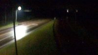
AshfieldColborneWawanosh › Norden: Highway 21 near Nile Road, Looking North

Big Rock › Nordwesten: true

Clyde River › Westen: Clyde River Airport (YCY)
Webcam Angebote windy.com.