Cookies helfen uns bei der Bereitstellung unserer Dienste. Durch die Nutzung unserer Dienste erklärst du dich mit dem Einsatz von Cookies einverstanden. Mehr Infos OK

Kanada - Webcams
 Anzahl Webcams:
Webcams Kanada
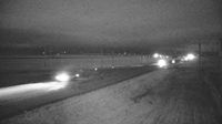
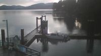
Courtenay › Süden: Highway 19A at 17 Street Bridge in - looking southbound on Comox Road
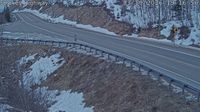
Invermere › Westen: Toby Creek Road at Panorama Fire Hall, near Springs Creek Road, looking west
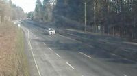
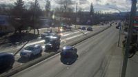
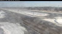
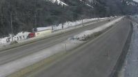
Chilliwack › Westen: Highway 1 near Bridal Falls, looking west
Stephenville Crossing
Ranchland: Hwy 22: North of Hwy 520 south of Chain Lakes
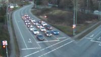
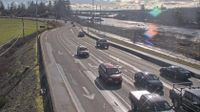
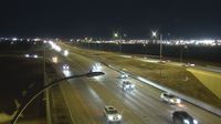
Surrey › Osten: Highway 10 at King George Boulevard, looking east on Highway 10
Area A › Norden: Highway 1 at Vowels Road next to Nanaimo Airport, looking north
Courtenay › Westen: Highway 19A at 17 Street Bridge in - looking west
Cowley: Hwy 3 at
Bassano: Hwy 1: East of Hwy56 near
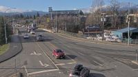
Duncan › Süden: Highway 1 at Trunk Road in - looking south
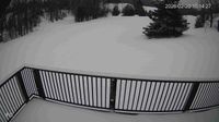
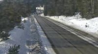
Clearview › Westen: Highlands Nordic
Southern Gulf Islands Electoral Area › Südosten: Hope Bay - Plumper Sound - Saturna Island 7

Cat Lake › Osten: true
Cape Smokey
Hadashville: Trans-Canada Highway
Transportation and utility corridor: Hwy 216: Anthony Henday Drive and Stony Plain Road West Interchange
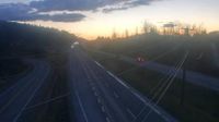
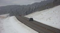
Fraser Valley Regional District › Norden: Highway 5 northbound at Zopkios Rest Area near the Coquihalla Summit looking north
Webcam Angebote windy.com.