Cookies helfen uns bei der Bereitstellung unserer Dienste. Durch die Nutzung unserer Dienste erklärst du dich mit dem Einsatz von Cookies einverstanden. Mehr Infos OK

Kanada - Webcams
 Anzahl Webcams:
Webcams Kanada
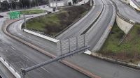
Sidney › Süden: Highway 17 at McTavish Road, looking south
Duncan › Norden: Highway 1 in - at Trunk Road, looking north
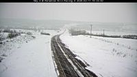
Frenchman Butte No. 501: West of Paradise Hill, SK
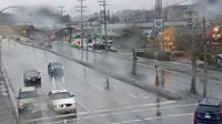
Nanaimo › Osten: Highway 1, at Comox Road and Terminal Avenue in - looking east
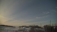
Island Lake › Nordwesten: true
Richmond › Süden: Highway 99 at Cambie Road in - looking south
Chapel Arm › Osten
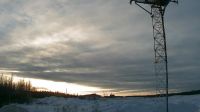
Unorganized Kenora District › Westen: true
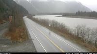
Port Edward › Osten: Highway 16 about 70 km east of Prince Rupert, looking east
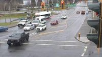
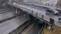
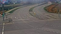
Hubrey: Highway 401 near Highbury Avenue South
West Vancouver › Osten: Highway 1 at Cross Creek Road - 15 Street exit in - looking east
Area A
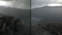
Britisch-Kolumbien: Ethel Island
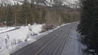
Kitchener › Osten: Highway 3 about 18 km east of Creston in - looking east
Delta › Norden: Highway 17 at Salish Sea Drive (48th Street), looking north
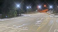
Crawford Bay › Nordosten: Highway 3A at Kootenay Bay Ferry Landing, looking northeast

Pouce Coupe: Dawson Creek Airport NE
Port Coquitlam › Westen: Barnston Island, at Barnston Island Ferry Landing, looking west
Webcam Angebote windy.com.