Cookies helfen uns bei der Bereitstellung unserer Dienste. Durch die Nutzung unserer Dienste erklärst du dich mit dem Einsatz von Cookies einverstanden. Mehr Infos OK

Kanada - Webcams
 Anzahl Webcams:
Webcams Kanada
Delta › Süden: Hwy 17 (South Fraser Perimeter Rd) at Deltaport Way in South - looking south
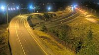
Rosedale › Osten: Highway 1 at Annis Road overpass, looking east
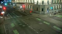
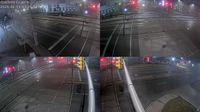
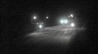
Old) Ottawa: Wellington Street & Bank Street

Lillooet › Südwesten: Fountain Creek 8 - Pavilion - Clinton Road - Highway 99
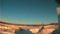
Peawanuck › Westen: true
Val-d'Or › Nordwesten: true
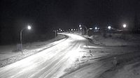
Kitchener: Highway 7/8 near Homer Watson Boulevard
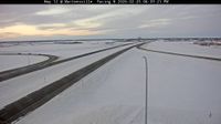
Northern Saskatchewan Administration District › Westen
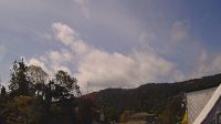
Nelson › Nordosten: Nelson Airport (CZNL) - Lake Side Walk
Martensville
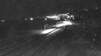
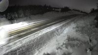
Lake Cowichan › Westen: Highway 18 at Skutz Falls Road, looking west

Lawnhill › Norden: Highway 16 at Wiggins Road on the east coast of Graham Island, looking north

North Battleford › Westen: true
Claremont: Springhill, Nova Scotia
Rural Municipality of Brackley › Südwesten: New Haven
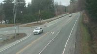
Area C › Norden: Highway 19 about 25 km north of Courtenay at Hamm Road, looking north
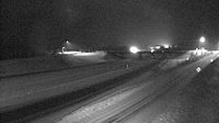
Tumbler Ridge › Westen: Highway 29 at Highway 52 junction, looking westbound on Highway 29
Salt Spring Island Electoral Area › Süden: true
Webcam Angebote windy.com.