Cookies helfen uns bei der Bereitstellung unserer Dienste. Durch die Nutzung unserer Dienste erklärst du dich mit dem Einsatz von Cookies einverstanden. Mehr Infos OK

Kanada - Webcams
 Anzahl Webcams:
Webcams Kanada
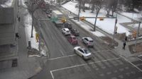
Chinatown: 5 Avenue - 1 Street SE
Downtown East Village: 6 Avenue - 1 Street SE
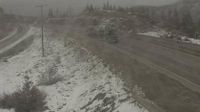
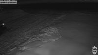
Thompson-Nicola Regional District › Norden: Highway 5 about 36 km south of Merritt at Larson Hill, looking north
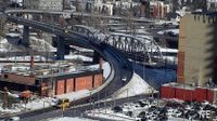
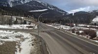
Lake Louise › Westen: Highway 1 west of - Overpass in Alberta, looking west
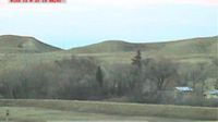
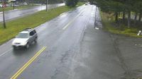
Espanola › Norden: Red McCarthy Memorial Field

L'Ile-d'Anticosti › Südwesten: true
Eastend › Nordosten: Lookout Pass - AVA NoMa
Northern Saskatchewan Administration District › Südosten: Key Lake Airport - Saskatchewan, Canada

Kings › Süden

Area C › Südwesten: Highway 20 about 88 km from Bella Coola and 41 km from Anahim Lake, near gate at top of Bella Coola hill, looking southwest
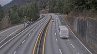
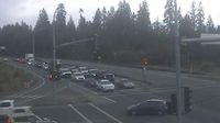
Lions Bay › Norden: Highway 99 in - looking north
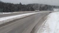
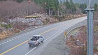
Sparwood › Südosten: Highway 3 - Crowsnest Highway
Woss › Südosten: Highway 19 about 101 km north of Campbell River and about 27 km south of - near Tsitika, looking southeast
Sooke › Osten: Highway 14 at Lazzar Road near - looking east

Cote-Nord-du-Golfe-du-Saint-Laurent › Westen: true
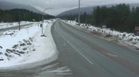
Blue River › Nordosten: Highway 5 at Shell Road in - looking northeast
Cobble Hill › Süden: Highway 1 at Cowichan Bay Road - Road, looking south
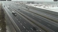
Meaford: Ontario 26 - Ontario 112
Webcam Angebote windy.com.