Cookies helfen uns bei der Bereitstellung unserer Dienste. Durch die Nutzung unserer Dienste erklärst du dich mit dem Einsatz von Cookies einverstanden. Mehr Infos OK

Kanada - Webcams
 Anzahl Webcams:
Webcams Kanada
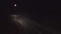
Halfmoon Bay › Süden: Highway 101 (Sunshine Coast Highway) at Brooks Road near - looking south
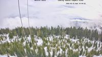
Campbell River › Osten: British Columbia, Canada
Cardigan: Pooles Corner
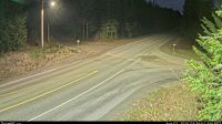
Osoyoos › Osten: Highway 3 about 9 km west of the Anarchist Summit, looking east
Rossland: Granite Mountain - RED Mountain Resort
Saint-Georges › Norden: Saint-Georges Aerodrome

Wabush › Westen: true

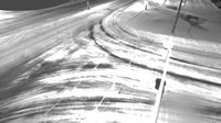
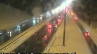
East York: Toronto - Don Valley Parkway
Area H › Norden: Highway 19 about 29 km north of Parksville at Cook Creek Road, looking north
Trois-Rivieres › Nordwesten: true
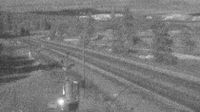
Meaford › Norden: Rockford - Ontario 6
Woss › Osten: Highway 19 about 75 km southeast of Port McNeill and 128 km north of Campbell River, looking east
Berens River › Westen: true

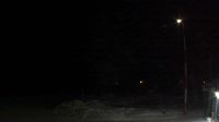
Sandspit › Südosten: Airport - British Columbia, Canada

Area C

Squamish › Süden: Highway 99 about 24 km north of - looking south
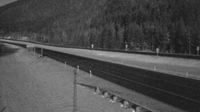
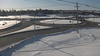
Dead Man's Flats: Hwy 1: East of Dead Mans Flat Overpass
North York: Don Valley East: Don Valley Parkway near Concorde Gate
Webcam Angebote windy.com.